Read the full story of Indian Well & the Housatonic Landscape
COLLECTION HISTORY
The people behind the place.
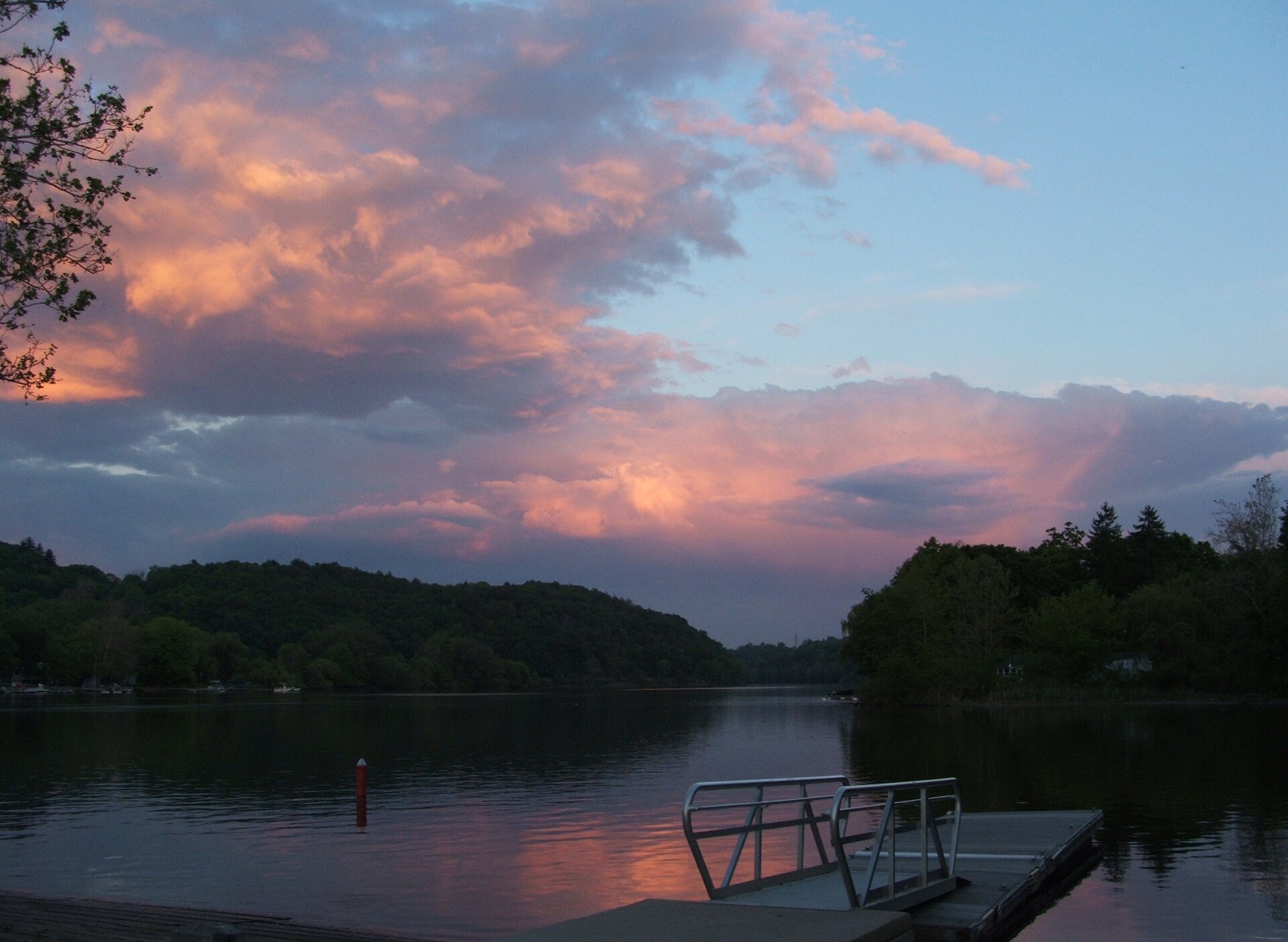
Indian Well State Park includes a waterfall and plunge pool beside the Housatonic River landscape. The state park account connects those physical features with the place’s name and recreational use. [CT064-S01]
Place-name legends and documented community history answer different questions. This collection treats the landscape photograph as evidence of a particular view, not as proof of a legend. Research into Indigenous history should also consult Indigenous-authored sources and records specific to this place. [CT064-S01]
The waterfall and plunge pool give this collection a clearly identified physical subject within the Housatonic landscape. Photographs document how those features appeared from a particular viewpoint and date. The state park account explains their relationship to recreation and the place name, but a scenic image alone cannot recover the full history of people who used the area. [CT064-S01]
Place-name legends should be studied as stories with tellers and publication histories. They cannot stand in for documented Indigenous community history. A fuller investigation would bring Indigenous-authored accounts, local records and evidence of land use into conversation with the park's interpretation. Keeping that gap visible allows the landscape to be taught without turning a picturesque story into an unsupported claim about a community. Later recreational use is another historical layer, with its own photographs and records. [CT064-S01]
HISTORICAL PERIODWaterfall, river and later state park
SITE & COLLECTION STATUSState park and conserved river landscape
Fairfield County · 1 included photographs Research edition: September 12, 2026
About this research edition. A selected, source-based research collection for New Haven and Fairfield counties. Includes credited photographs where reusable images were located, historical interpretation and links to supporting records. It is a growing inventory, not an exhaustive survey. Photographs retain their individual dates and reuse terms; images do not establish present access conditions.
THE SEARCHABLE CATALOG
Images, maps & original records
Search includes catalog notes and the OCR text included with this edition. OCR may misread names or dates; use the original scan to verify a match.
Supporting source for the collection’s history, chronology and research notes. A waterfall and riverfront offer a starting point for reading Shelton’s changing landscape.
Extract the ZIP and open START_HERE.html. It includes the catalog, selected images, acquired source text, credits and a searchable SQLite database. New photo additions are hosted in the SGC media library and require an internet connection; original bundled images remain available offline.