Read the full story of Paugussett State Forest
COLLECTION HISTORY
The people behind the place.
Paugussett State Forest lies in Newtown in two separate blocks. Connecticut’s forestry account dates Lower Block acquisitions from the 1940s and the acquisition of the Upper Block to 1969. The forest is managed for timber, habitat and recreation, connecting conservation with continuing work on the land. [CT065-S01] [CT065-S02]
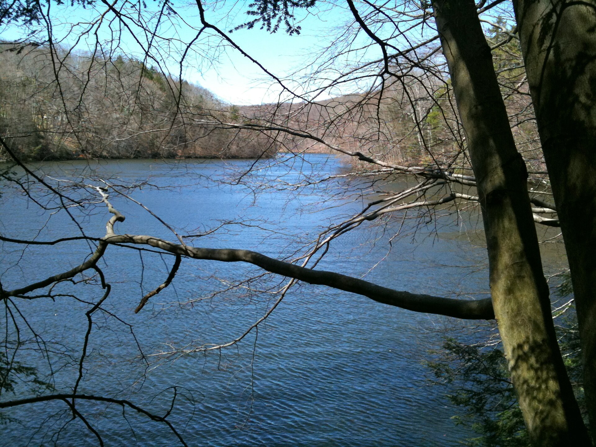
A wooded view records present vegetation at the time of the photograph; it cannot establish that the land was always forest. Historical maps, deeds and archaeological evidence can help investigate earlier boundaries and uses. The forest’s Indigenous-derived name is a starting point for research, not a substitute for an Indigenous history of the area. [CT065-S01] [CT065-S02]
The Upper and Lower Blocks did not enter state ownership together. Acquisitions of the Lower Block began in the 1940s, while the Upper Block was acquired in 1969. These dates show a public forest assembled through decisions about particular parcels. They do not date the trees or establish that the land had always been wooded. [CT065-S01] [CT065-S02]
Timber management, habitat and recreation place continuing work within the forest's history. A photograph of a trail or stand of trees records the landscape at one moment, while deeds and historical maps may reveal earlier fields, boundaries or buildings. The name Paugussett also calls for research into Indigenous history using sources that actually address the people and place. The state forest and the separately named Paugussett Trail should not be merged merely because a search result uses the same word. [CT065-S01] [CT065-S02]
HISTORICAL PERIODTwentieth-century state forest
SITE & COLLECTION STATUSPublic forest in two separate blocks
Fairfield County · 5 included photographs
Research edition: September 12, 2026
About this research edition. A selected, source-based research collection for New Haven and Fairfield counties. Includes credited photographs where reusable images were located, historical interpretation and links to supporting records. It is a growing inventory, not an exhaustive survey. Photographs retain their individual dates and reuse terms; images do not establish present access conditions.