Read the full story of Sleeping Giant: Quarrying & Preservation
COLLECTION HISTORY
The people behind the place.
The state’s history connects the creation of Sleeping Giant State Park to opposition to traprock quarrying. Blasting threatened to alter the ridge’s recognizable profile. Protecting that profile became a preservation issue as well as a conservation issue. [CT054-S01]
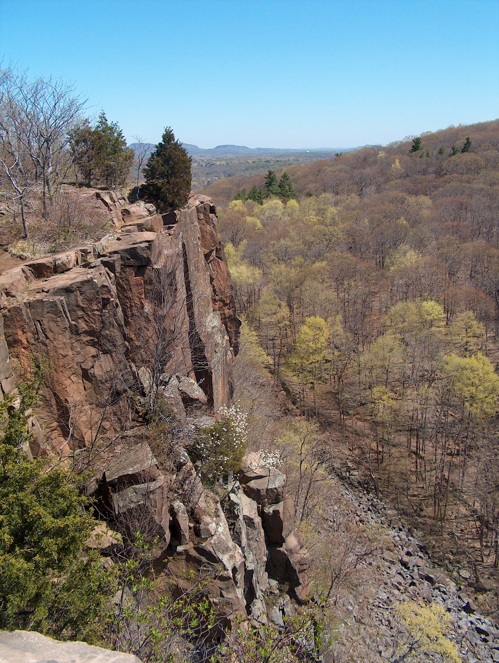
The ridge’s distinct features are formed from ancient igneous rock. Its trails and observation tower invite people to experience a landscape that contains both geological history and evidence of human intervention. Quarry traces and park structures should be read as different periods of use. [CT054-S01]
Quarrying treated traprock as material that could be removed and used elsewhere. Preservation treated the ridge's recognizable form as something whose value depended on remaining in place. The park's history emerges from that conflict. Geological age and the much shorter history of extraction belong to different timescales, both visible in the same landscape. [CT054-S01]
Quarry traces, trails and the observation tower preserve successive ways people worked with and moved across the mountain. They should not be blended into an image of untouched nature. A photograph can establish a scar, structure or viewpoint at its capture date, while dated quarry and park records establish when changes occurred. This makes Sleeping Giant useful for discussing how communities decide between competing uses of land, without assuming that every person experienced those decisions in the same way. [CT054-S01]
HISTORICAL PERIODQuarrying preceded the state park
SITE & COLLECTION STATUSState park; former quarry landscape
New Haven County · 5 included photographs Research edition: September 12, 2026
About this research edition. A selected, source-based research collection for New Haven and Fairfield counties. Includes credited photographs where reusable images were located, historical interpretation and links to supporting records. It is a growing inventory, not an exhaustive survey. Photographs retain their individual dates and reuse terms; images do not establish present access conditions.
THE SEARCHABLE CATALOG
Images, maps & original records
Search includes catalog notes and the OCR text included with this edition. OCR may misread names or dates; use the original scan to verify a match.
Supporting source for the collection’s history, chronology and research notes. A familiar ridge preserves evidence of quarrying and a campaign to protect its shape.
Extract the ZIP and open START_HERE.html. It includes the catalog, selected images, acquired source text, credits and a searchable SQLite database. New photo additions are hosted in the SGC media library and require an internet connection; original bundled images remain available offline.



.jpg)

