COLLECTION HISTORY
The people behind the place.
Marginal Drive follows the western edge of the West River landscape between Derby Avenue and the Boston Post Road. Although inside West Haven, it belongs to the setting of New Haven’s West River Memorial Park. A 2018 walk describes the river on one side and St. Lawrence Cemetery and Horseshoe Lagoon on the other. This boundary position helps explain why the road’s history involves both municipalities. [MDR-006]
The landscape was designed before the road acquired its later asphalt surface. The Olmsted Archives catalog preserves a West River Memorial Park pre-study dated September 22, 1924, revised October 30. It is a study drawing, not evidence that construction had already occurred. Its title, scale, revision and job number provide a firm starting point for further archival work. The drawing also establishes that the park’s early planning belongs to the interwar period; it cannot supply an opening date for Marginal Drive on its own. [MDR-005]
Daily Nutmeg traces the drive to Frederick Law Olmsted Jr.’s 1926 park proposal, which included separate walking and riding paths. Those paths did not survive execution. Citing the parks department’s annual report, it dates the road’s first paving to 1963, through cooperation between New Haven and West Haven. By 2018 most of the route was gated against cars, while roughly 1,500 feet at the southern end still served residents. [MDR-006]
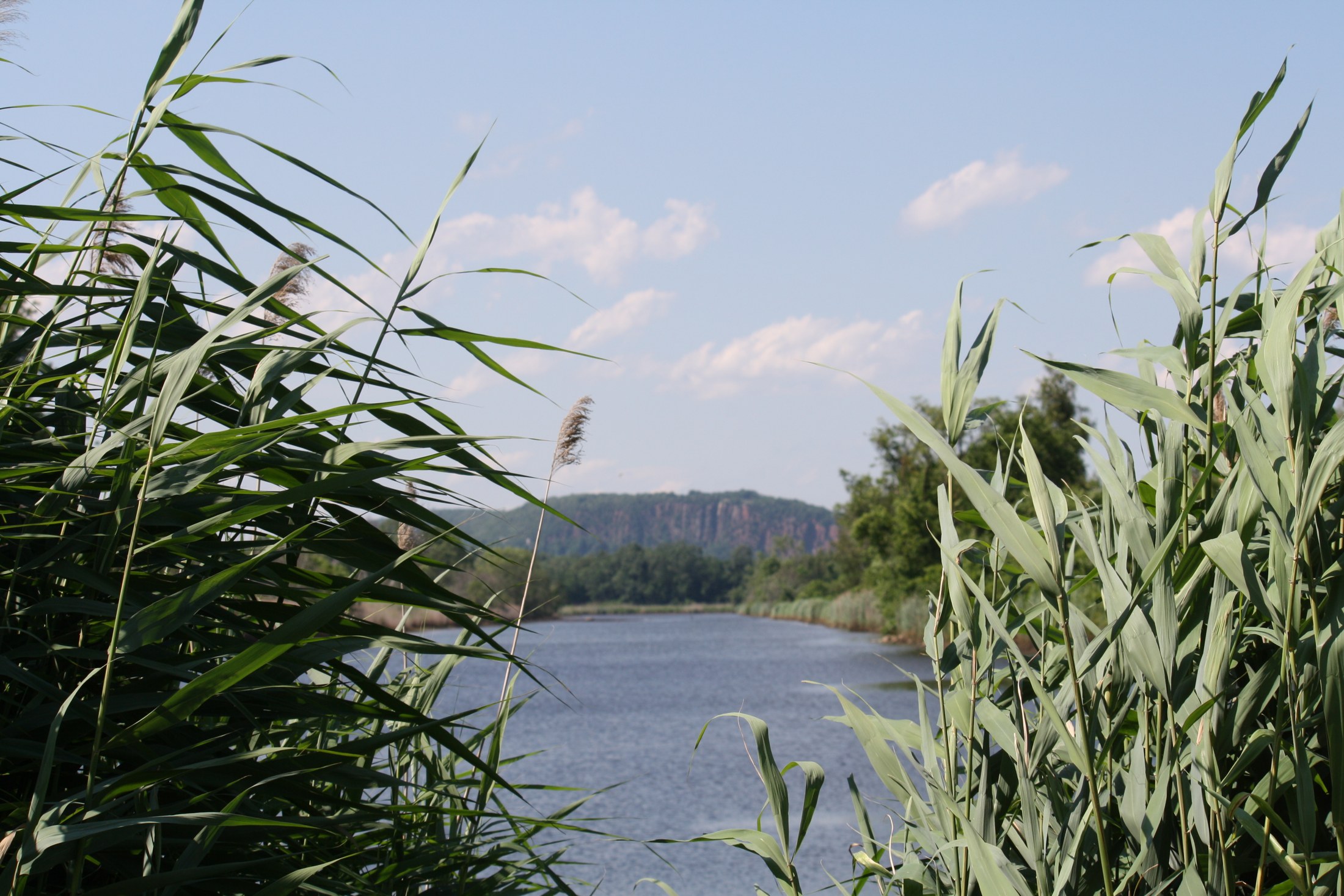
The river beside the road also changed substantially. Save the Sound describes an earlier coastal marsh system altered by tide gates installed south of Route 1 in the 1920s. The gates allowed freshwater to leave but restricted incoming tides and fish movement. Their effects extended beyond the structures themselves, changing the water and habitat upstream. In 2012 a restoration project replaced three old gates with self-regulating gates. The organization reported restored tidal exchange across more than 80 acres of marsh and improved access to seven miles of river habitat. Changes to a walkway at Edgewood Park accommodated higher water; that work should not be mistaken for reconstruction of Marginal Drive. The 2014 federal photographs in this collection show the river environment and gate mechanisms after this intervention. [MDR-008]
Road maintenance remained a separate issue. A May 2013 newspaper report announced a June 1 cleanup involving residents and municipal services. Reported debris included tires and mattresses, with storm damage also affecting the area. Because the article announced the event, it establishes a planned cleanup rather than documenting its completion. It nevertheless shows organized attention to the road’s condition by that date. [MDR-009]
In 2022, residents, watershed advocates and University of New Haven students sought a better trail for walking, cycling and birdwatching. Reporting described prolonged closure to through traffic, dumping and divided municipal responsibilities. The campaign documented a proposal and maintenance concerns; it did not establish that a comprehensive trail reconstruction had been completed. [MDR-007]
Marginal Drive ties a designed park landscape to the changing waters beside it. The 1924 study and later park proposal record intentions; the reported 1963 paving is a different event. Tide gates and their later replacement altered water exchange, while road maintenance and trail proposals addressed how people could move through the landscape. These changes should not be treated as one project. Horseshoe Lagoon adds a specifically identified waterbody to the story, west of the drive and south of St. Lawrence Cemetery. Maps and coastal-planning records help locate it precisely, while park photographs provide broader context only when their captions do not identify the lagoon itself. [MDR-006] [MDR-005] [MDR-008]





.jpg)
.jpg)
.jpg#Licensing)

